| Canfield Travels | |
| 2022 USA West #2 |
The Mountains are Calling
Chelan Lake
Adjacent to North Cascades National Park is the Lake Chelan
National Recreation area accessible by daily Stehekin Ferry. The town of
Stehekin with no road access is located at the head of the lake. Departing the
ferry and after a short bike ride we walk through the woods to the Buckner
Orchard. Planted in the early 1900s this orchard is now managed by the National
Park Service and is open in season for apple picking. The orchard’s 4 mile
gravity flow irrigation system, fed by snowpack, and hand dug by the homesteaders,
is still in use today.
Chelan
Lake vacation home
Schoolroom
Chart
Garden
pollinators
Mount Rainier
As we approach 14,410 foot Mount Rainier from the east over
Chinook Pass the glaciated peak suddenly appears high above us.
Mount
Rainier
From our campsite at Ohanapecosh we follow the loop trail
through the old growth forest to Silver Falls.
Mount St. Helen National Volcanic Monument
An Active Volcano
As we travel along the entrance road we note the changes in
the area that have occurred since our previous visits to the area in 1982, just
2 years after the eruption and in 1992.
We hiked The Boundary Trail into the landscape
altered by the eruption. Mount St. Helen was shortened by
1300 feet to 8363 feet by the eruption. Still visible is a 300 foot
lava dome bulge on the north side of the mountain.
First
view of the volcano
Yellowstone National Park
The First United State National Park
As a result of the mid-June flooding both the North and
Northeast Entrances remain closed so we enter via West Yellowstone, MT. With
the majority of the world’s geysers and hot springs and an abundance of
wildlife located in this park it can be a fascinating as well as dangerous
place. Warning are everywhere.
Unpredictable
Steamboat Geyser
White
siliceous organisms color the landscape
Hot springs are living thermometers. Microorganisms that
live there and in their runoff have adapted to the extreme temperatures. The different
colors of these organisms indicate the temperature at which each can survive –
orange at the hottest (140 degrees F) and green at cooler (122 degrees F).
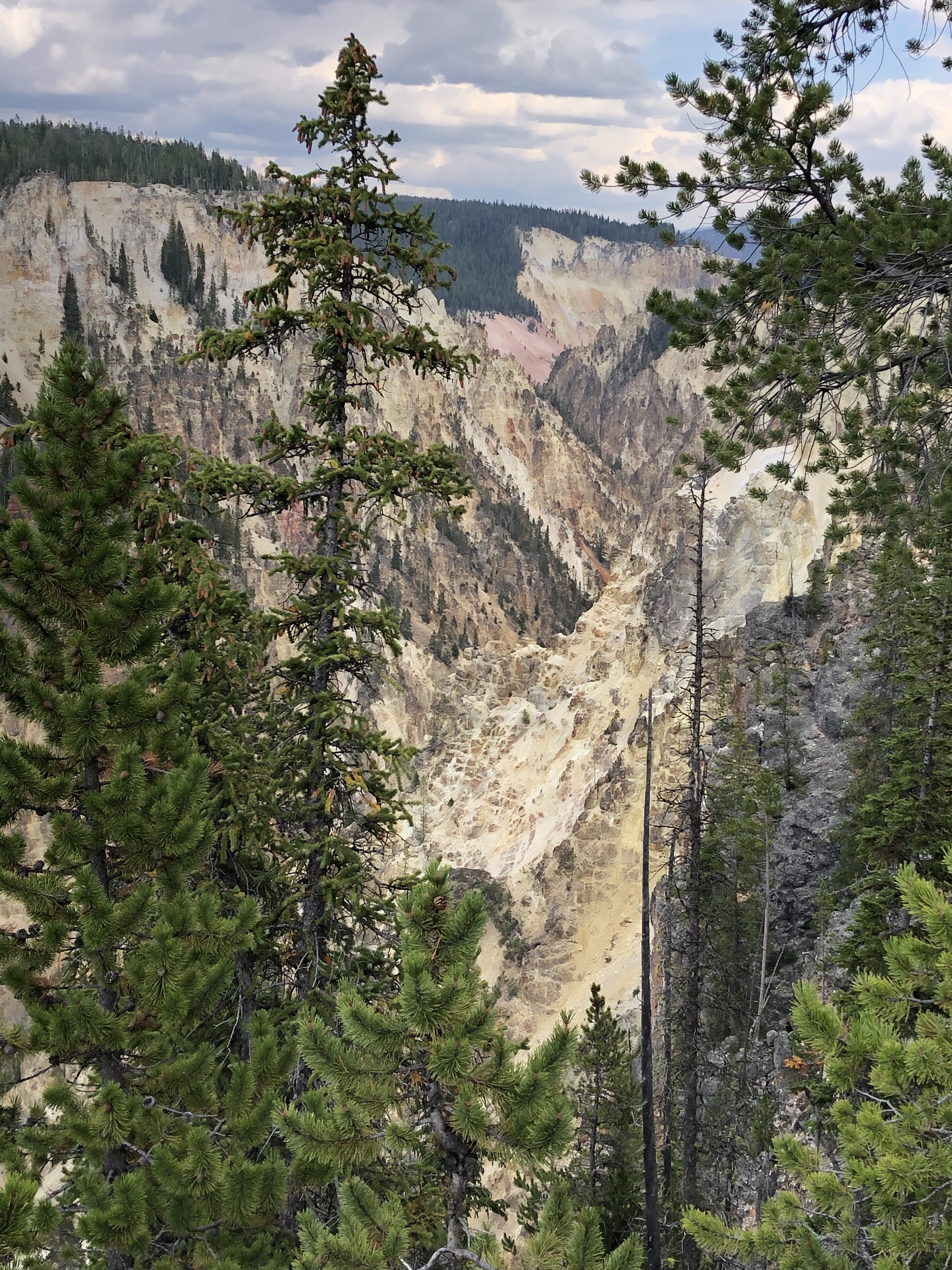
Hiking along the south rim we view the equally spectacular Grand Canyon of the Yellowstone River

Grand
Canyon of the Yellowstone River
Bordering Yellowstone National Park to the south is one of
our favorite parks – Grand Teton National Park. Jackson Lake, a highlight of
this park, is experiencing very low water as Idaho has drawn water from this
reservoir for agricultural use lowering the lake level by 39 feet.
By making an early start we were able to enjoy an uncrowded,
challenging hike to circle between Bradley and Taggart Lakes for some fantastic
mountain views.
Grand
Teton at Bradley Lake
Capitol Reef National Park
At Capitol Reef National Park we join New Jersey hiking friends
Joyce and Alan Breach and Joyce’s sister Kate Weller for several days of
hiking.
Capitol Reef’s defining geologic feature is the Waterpocket
Fold, a wrinkle in the Earth’s crust carved by millions of years of erosion.
Hickman
Natural Bridge
In the 1880s Mormons established the small settlement of
Fruita building irrigation systems to water orchards and pastures which the
National Park presently maintains. Thus the source of fruit for pies.
True dark skies are becoming rare but the open skies at
Panorama Point provided the perfect theater for thousands of stars to shine and
amaze as the daylight dimmed and the billions of stars in the Milky Way
gradually appeared across the sky.
Fun in Missoula, Montana
A Carousel for Missoula is a hand-carved 1918 merry-go-round
maintained by volunteers. Jim tried but missed the brass ring.
The Lewis and Clark Corp of Discovery
Headwater of the Missouri River
Missouri Headwaters State Park, near Three Fork, MT, encompasses
the present day confluence of the Jefferson, Madison and Gallatin Rivers.
It is here the Lewis and Clark arrived on July 25, 1805, accomplishing
a major goal of the expedition: to explore the Missouri River to is source.
From the Headwaters to
the Mississippi River
In order to continue west the Corp needed horses.
We now have it easier as we continue our travels westward.